REVEAL™
for Geotech
Identify and map geotechnical hazards in the subsurface, improving safety, reducing risk, and informing production planning. Characterize poorly delineated voids and backfilled stopes with precision, unlocking sterilized ore.
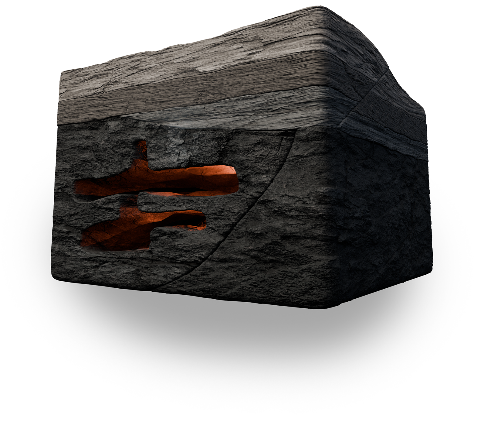

Identify voids
Reduce geotechnical risks

Improve mine planning

Increase production speed
Create visibility. Optimize productivity. Safer.
“One of our goals for the deployment of muon tomography at Creighton was to accurately identify subsurface voids and rubble zones around the active mine site to help aid in geotechnical de-risking. The outcomes validated our existing data and enhanced our knowledge meaningfully.”

Ideon reduces geological uncertainty, giving you confidence to unlock resources with less risk
Ideon has demonstrated how mapping unknown voids with confidence can allow mining to resume and liberate more than $250M of minerals previously rendered inaccessible on one site due to ground stability uncertainty.
Our suite of hardware, software, AI-powered services, and multi-physics fusion techniques allows us to create high-resolution, dynamic Earth models and unlock the exponential power of integrated spatial data. We help you identify and map subsurface voids, understand water flow in mine, inform slope instability and geotechnical risk assessments, and keep your people and equipment safe as you get critical metals to market.
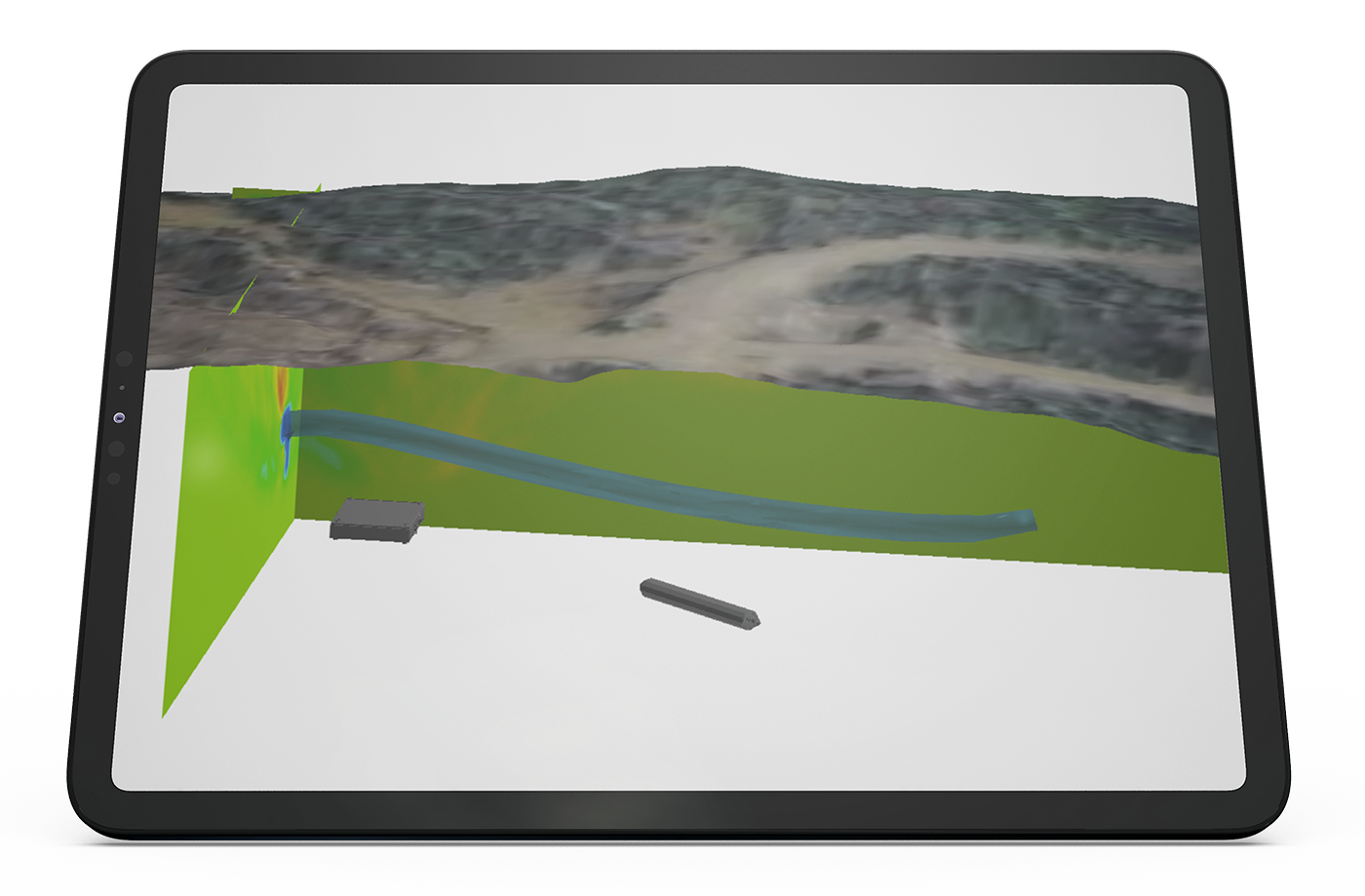
Ideon has imaged billions of cubic metres of the Earth’s subsurface – at metre-scale resolution.
Gain an unmatched understanding of the Earth’s subsurface, derisking operations and unlocking economic value:
See how others are leveraging
REVEAL™ for Geotech
Create visibility.
Drive productivity.
Safer.
Provide us with some details about your site and our Business Development team will be in touch.